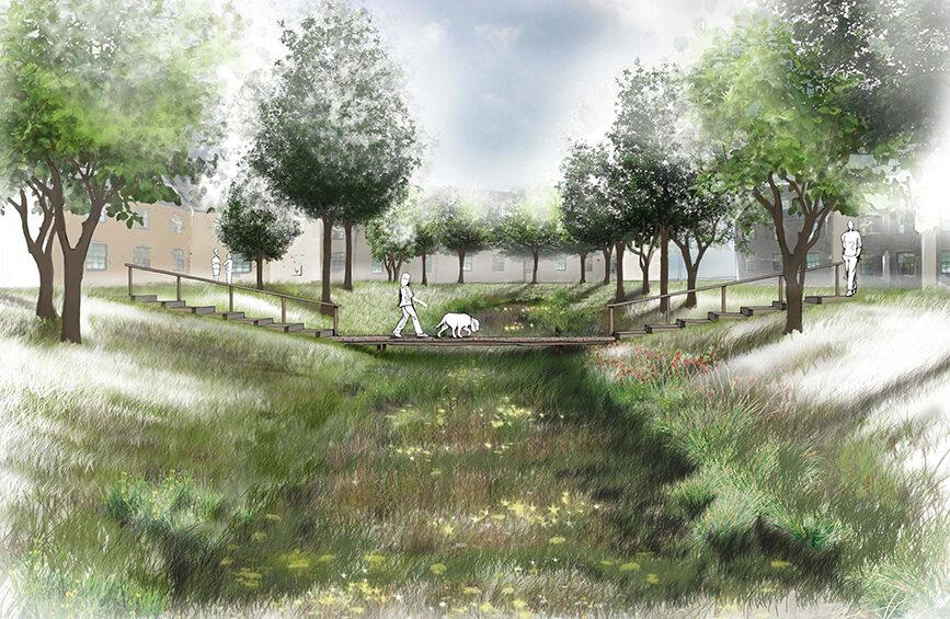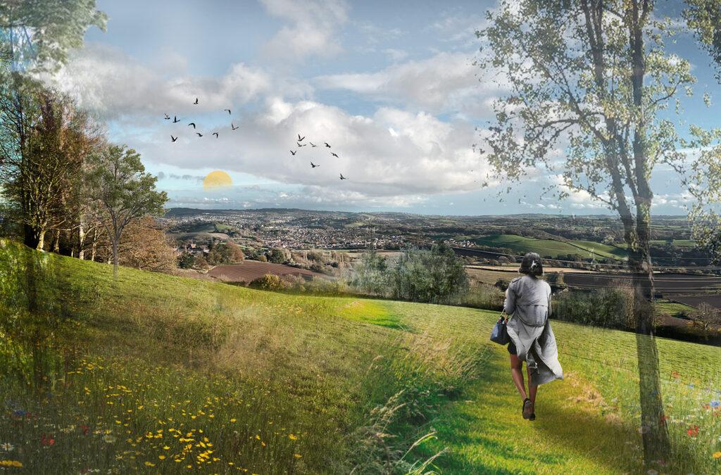
Bradmore Hilltop Park Master Plan
Bradmore Hilltop Park, Teignbridge Project Overview epd were tasked with proposing an approach to successful and effective delivery of a new countryside park in Teignbridge to encourage people to connect to nature. The masterplan includes a rationale for the project, delivery phases and key stakeholders for delivery, and included strategies for helping to attract funding, […]
Bradmore Hilltop Park Master Plan Read More »